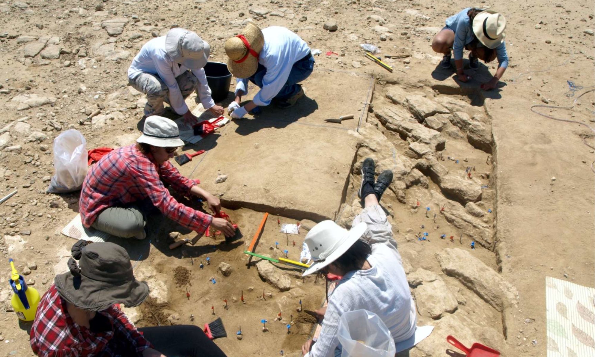


The fieldwork strategy and the implemented methodology are based on the objectives of the research project related to a) the paleogeographic configuration b) the site formation processes and c) the paleoenvironmental evolution of the study region. More specifically, fieldwork will include mapping of the recorded landforms (sand dunes, lagoon, streams) and intensive sampling both at the exposed natural and excavation profiles and at the unexposed parts -with the use of percussion-driven equipment which can reach a depth of up to 5 m, planned to run across the lagoon and plain deposits further afield.
The samples will include bulk sediment samples for sedimentological analysis and environmental proxies, OSL samples collected with opaque core tubes and micromorphological samples in the form of undisturbed blocks from the profiles. The samples will be processed at the Department of Geology, Aristotle University of Thessaloniki and the M.H. Wiener Laboratory for Archaeological Science.
Laboratory analysis includes:
a) sedimentological analysis which incorporates granulometry, organic matter and calcium carbonate content analysis, along with pH and electrical conductivity measurements, all considered standard methods for reconstructing depositional processes and assessing the properties of the sediments which influence the preservation potential of archaeological remains
b) high resolution microstratigraphic analysis (soil micromorphology) which concerns the description and interpretation of components and features in sediments at a scale which cannot readily be seen with the naked eye. Through this method it is possible to study site formation processes, differentiate post-depositional disturbances, paleoenvironmental changes and trace human activities with exceptional resolution
c) this high resolution sedimentological and micromorphological analysis will be combined with a robust program of AMS and OSL dating, to create a detailed chronostratigraphic background to which individual environmental proxies will be correlated and interpreted along with the depositional variabilities over time
d) anthracological and pollen data will be implemented as paleovegetation proxies along with foraminifera for assessing salinity and shells as paleoenvironmental and paleoclimatic markers
e) the paleogeographic data will be supplemented with the paleo-coastline reconstruction to interpret the formation of the terrestrial landforms and the presence of anthropogenic activity in accordance to the eustatic changes.

Sea-level curves will be used, and detailed bathymetric records will be produced drawn from nautical charts, to be able to produce more precise chronological inferences regarding past coastline changes. This will allow the estimation of the distance of the site of Ouriakos from the shoreline 10,000 cal BC, which now falls somewhere in the range of 1.5 km to 3.0 km; this will mean that the hunting camp was located not on the shoreline but well back from it, overlooking a low coastal plain. General Digital Bathymetry (DB) charts of the island of Lemnos reconstructing the evolution of the coastline, spanning the time frame between the Last Glacial Maximum and the middle Holocene has been already produced.
These charts were based on published sea-level curves estimating the fluctuations in sea-level and ice volume through past glacial cycles, as well as sea-level reconstructions derived from borehole stratigraphies. This project survey will provide the opportunity to implement localized data and produce more accurate bathymetric charts of the shallow sea area bordering the site of Ouriakos. Moreover, it will help to develop a more thorough methodology regarding the future study of submerged cultural landscapes and highlight research questions such as archaeological visibility in shallow water environments.